
history_map_blog_image-2__large.png
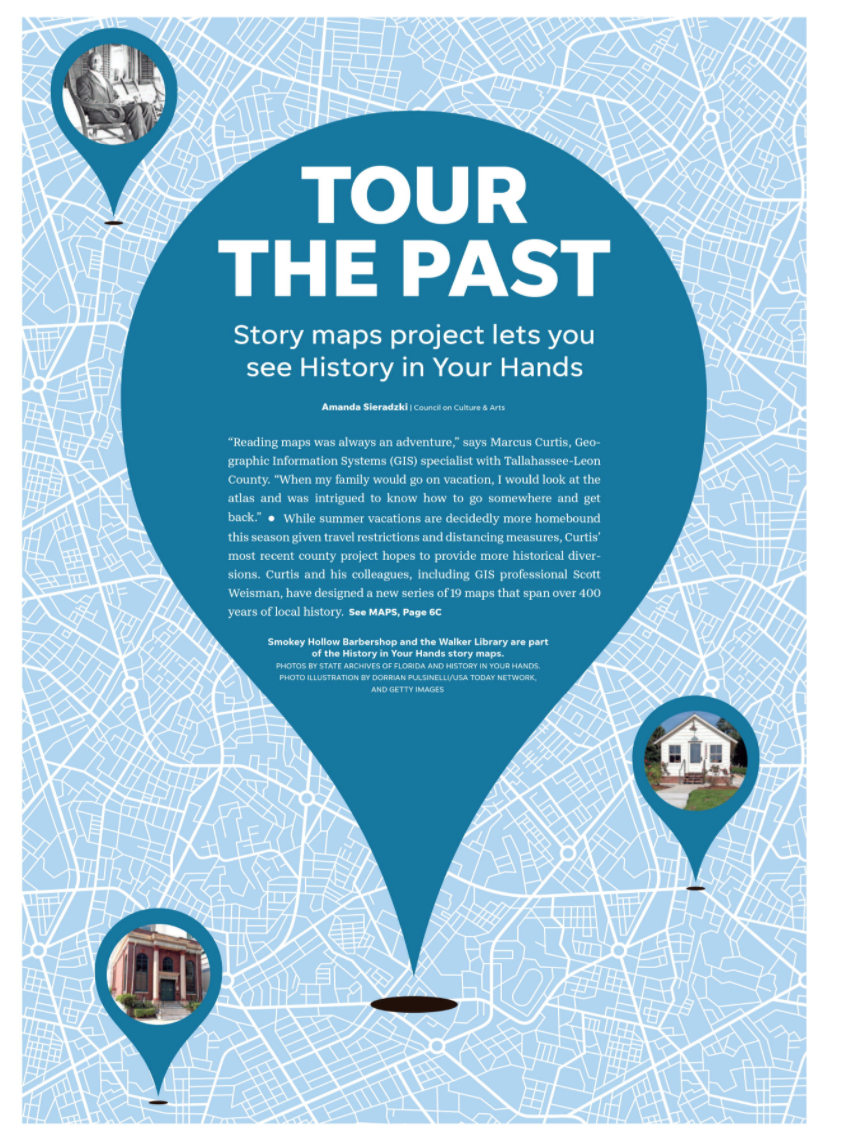 “Reading maps was always an adventure,” says Marcus Curtis, Geographic Information Systems (GIS) specialist with Tallahassee-Leon County. “When my family would go on vacation, I would look at the atlas and was intrigued to know how to go somewhere and get back.”
While summer vacations are decidedly more homebound this season given travel restrictions and distancing measures, Curtis’ most recent county project hopes to provide more historical diversions. Curtis and his colleagues, including GIS professional Scott Weisman, have designed a new series of 19 maps that span over 400 years of local history.
The Leon County “History in Your Hands” mapping resource pieces together hundreds of archival photos and source document links so that residents can explore historical neighborhood maps, learn about names and faces of the past, as well as view way markers on self-guided history tours.
The county is encouraging visitors to use the hashtags #HistoryinyourHands and #TLCGIS when posting or visiting listed sites.
The project stemmed from a request from the public to create more accessible historical resources. Though the website went live back in mid-March, COVID-19 impacted its initial event launches at libraries and museums. However, Weisman says the site’s “story maps” have the ability to transport citizens through space and time without ever leaving their homes as long as there is a stable internet connection.
When first navigating to the website, visitors are greeted with a grid of story maps named for historical districts like Los Robles and Myers Park.
“The beauty of the story map is that it gives you the opportunity to really paint a picture,” says Curtis. “You have a spatial, mapping component where all of these historical sites are listed. With that data, we were able to create a tool that’s not just a static brochure.”
“Story maps are designed to be able to use different mediums, text, photos, videos,” adds Weisman, who says the multimedia approach has been a joy to work on over the past two years.
Weisman has worked for Leon County’s GIS division for several years and teaches in the Department of Geography at Florida State University. GIS projects typically vary day by day, from mapping nature trails to septic tanks, all while looking for trends that are useful in the contexts of supporting city, county and property planning.
He says working on the “History in Your Hands” team is a new journey every day as everyone’s varied backgrounds in geography, archaeology, history, planning, and architecture coalesce into different map themes and applications for the website. For Curtis, who served as a team lead and primary researcher, that meant pulling from his past work history in land surveying, architectural drafting and urban planning.
Read the rest of the story by visiting the Tallahassee Democrat
or read more by downloading the article here